Weyerhaeuser looks after a lot of land. It oversees the system of record for some 12.5 million acres, and the millions of legal descriptions that describe it. And part of that success comes down to some smart decisions made way back, when the company was looking at how to map its holdings.
Weyerhaeuser’s critical business need was this: they needed to build their ownership and leases into exact shapes, coming from a deed and generated into the PLSS (Public Land Survey System). The resulting data would drive their GIS systems and support management and decision-making across the company. Without automation, this was an enormous business problem.
“About 80 to 85% of our legal ownership can now be automatically mapped in seconds”
That’s when Weyerhaeuser found WhiteStar, and our WhiteStar Lots, Tracts, and Quarter-Quarters dataset was born.
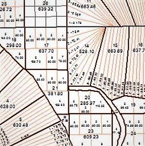
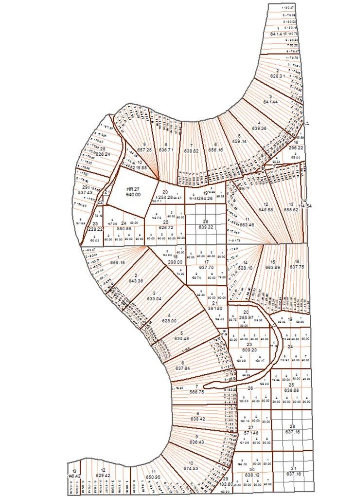
WhiteStar Data and annotation in Mississippi: Township 15N, Range 9W, Choctaw Meridian
Weyerhaeuser needed data as detailed as the surveys from the BLM. When it couldn’t find the data quality it needed, the company commissioned WhiteStar to produce small batches of LTQQs to start. Our in-house experts painstakingly research the history of each legal boundary to produce the most accurate representation possible.
“About 80 to 85% of our legal ownership can now be automatically mapped in seconds,” says Weyerhaeuser. “Without this data, we would probably have to triple the team size, and the results likely wouldn’t be as accurate. The manual involvement with every ownership parcel would increase our build times exponentially. What WhiteStar has provided is exactly what we need to make our mapping requirements feasible.”
“We’ve given them enormous projects over the years, and every one has come in on time and under budget.”
Weyerhaeuser’s land base is dynamic and can change in the form of many townships at once. Correspondingly, the LTQQ coverage grew over time.
And our relationship with Weyerhaeuser continues – 18 years in. “WhiteStar has been helpful and responsive – even career-enhancing. And we continue to work together because their work remains spot-on, with service second to none when we need something. We’ve given them enormous projects over the years, and every one has come in on time and under budget. They’re just a great company to work with, and when you have that kind of trust it makes your job so much easier.”
Weyerhaeuser’s ability to manage such a large land holding with a few staff is a compelling story, and we’re proud to be a part of it. Today, WhiteStar Lots, Tracts, and Quarter-Quarters (LTQQ) is part of TrueGRID, with PLSS coverage in more than 30 states, and is available through several Whitestar Explorer plans. Whitestar data is also embedded directly in our partner Pandell’s Enterprise Land solution, bringing the same constructed land grid into your land management and GIS workflows.