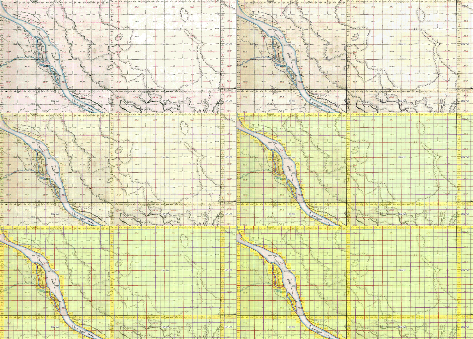
Streamline Chain of Title Research with TrueGRID Atlas
Discover TrueGRID Atlas, a dynamic platform that seamlessly integrates historic Public Land Survey System (PLSS) plat maps with the comprehensive Whitestar geospatial dataset, delivering powerful insights through a unified, intuitive interface.
With this multi-layered spatial resource, you can:
Visualize historical and current land use patterns
Access original land surveys, patents, and accurate placement for more precise research
Overlay survey plats with satellite imagery, zoning layers, and infrastructure data
Make faster, more confident decisions with a complete spatial view


